1989 photo of the old high school during preparation for use as Ames city hall
1989 photo of downtown Ames looking east
Duff Avenue crosses the bottom of the image.
Lincoln Way and the Chicago North Western tracks from top to bottom.
1989 photo of downtown Ames looking west
Duff Avenue crosses the center of the image.
Main Street, 5th Street and 6th Street are visible running from top to bottom.
1989 photo of the area of five Ames wells
East Lincoln Way is visible towards the bottom
The Skunk River is at bottom left, Ioway Creek at top left
1989 aerial photo facing southwest of Moore Park being developed
George Washington Carver Road is in the foreground.
1989 aerial photo facing northwest of Moore Park being developed
George Washington Carver Road twists to the distance.
Timber area shows Ioway Creek basin.
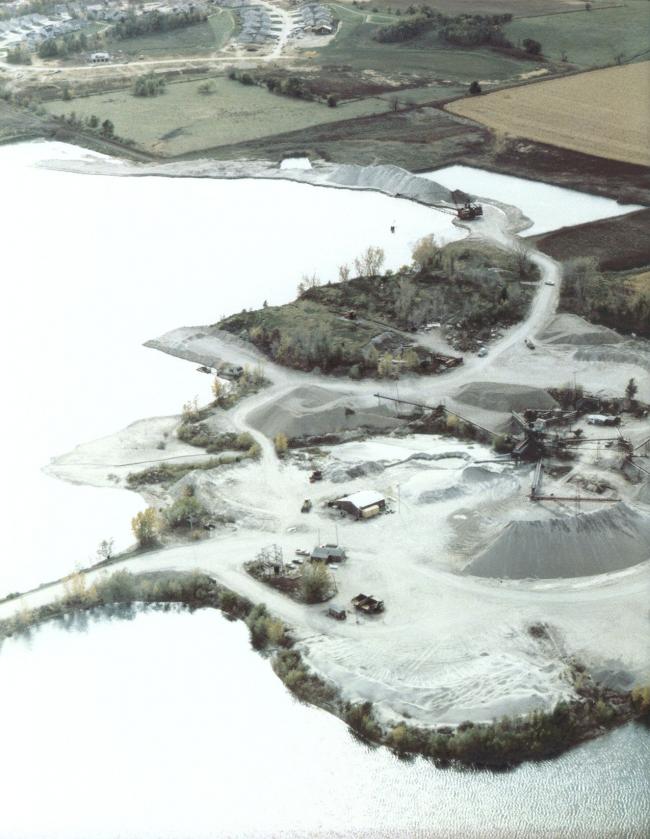
1992 view of Hallett's Gravel operation looking southwest
(photos on this page courtesy of Gary Moore)


