
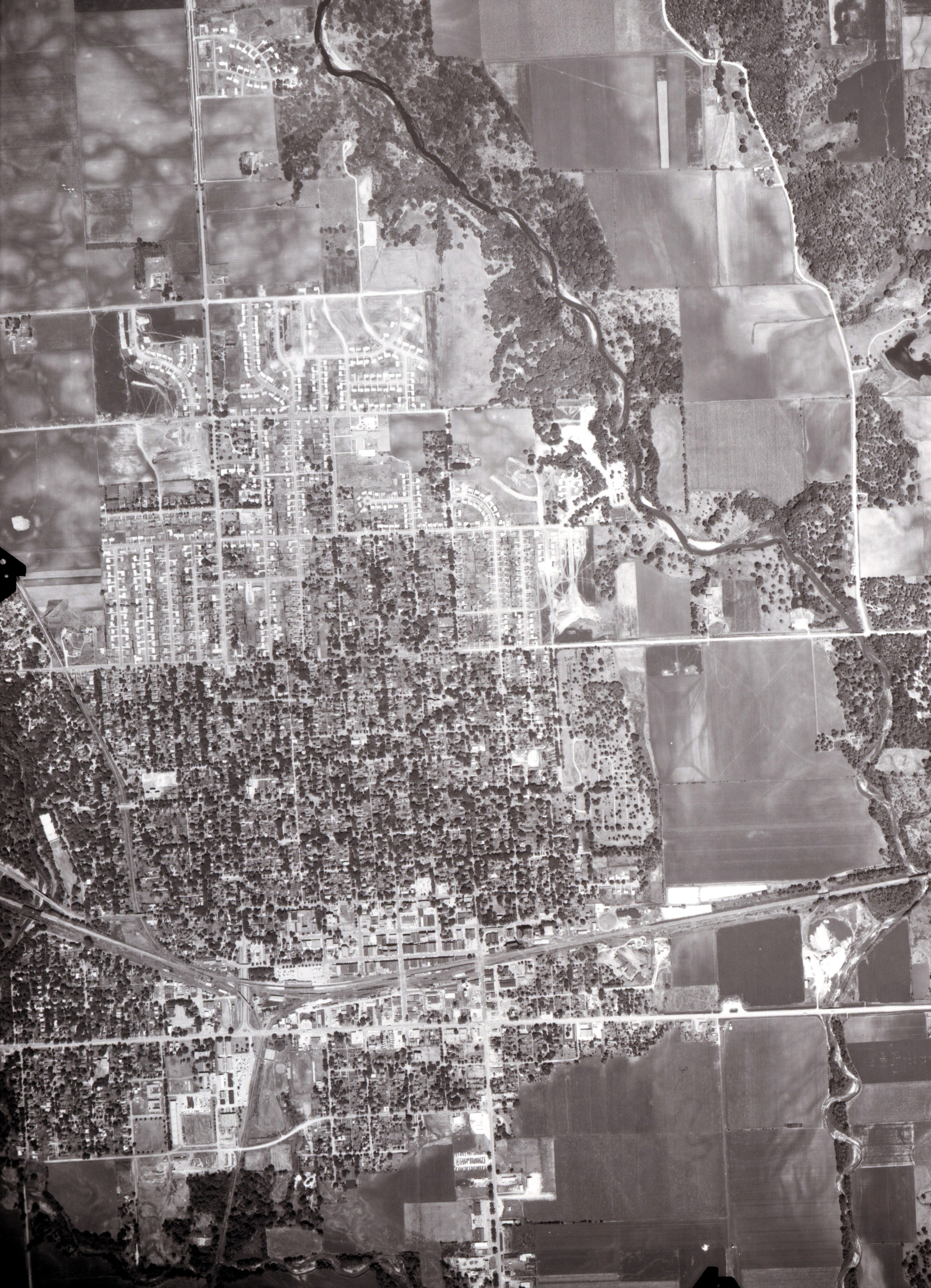
1953 aerial photo of Ames area east of Ioway Creek
(photo courtesy of Helen Gunderson)

1950s aerial view of downtown Ames
1958 aerial photo of Ames area east of Ioway Creek
(photo courtesy Helen Gunderson)
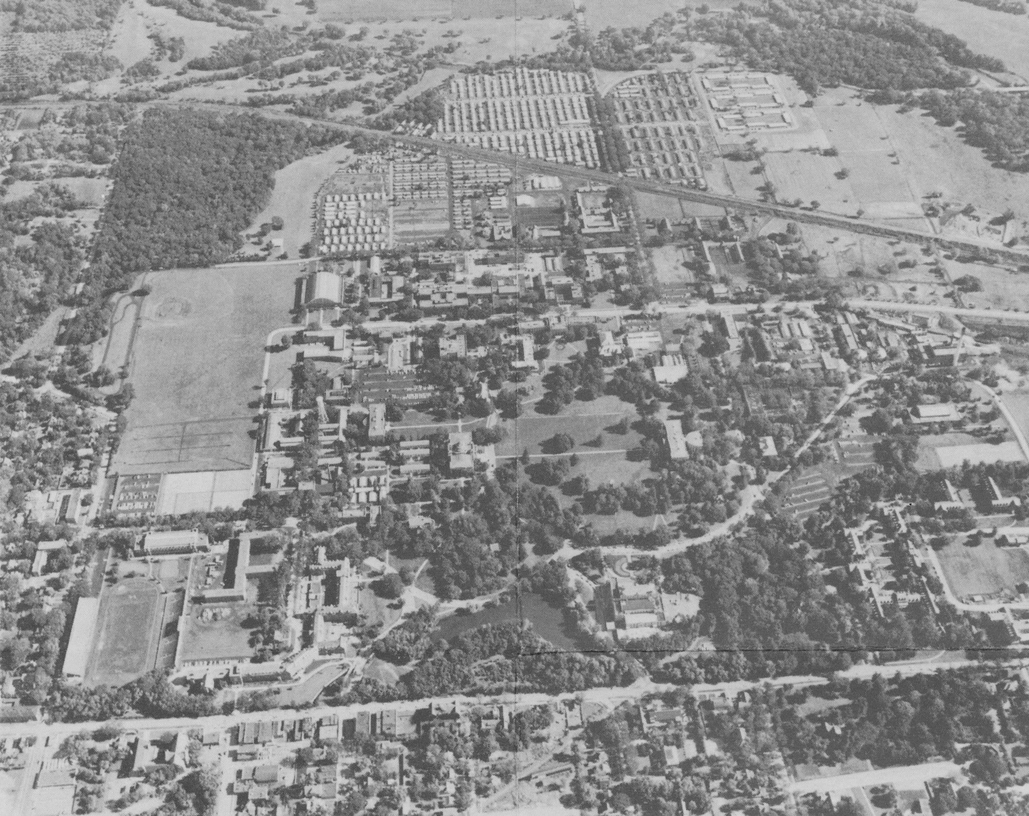
1958 Aerial view of ISC campus and Lincoln Way looking north

1960s view of campus looking north
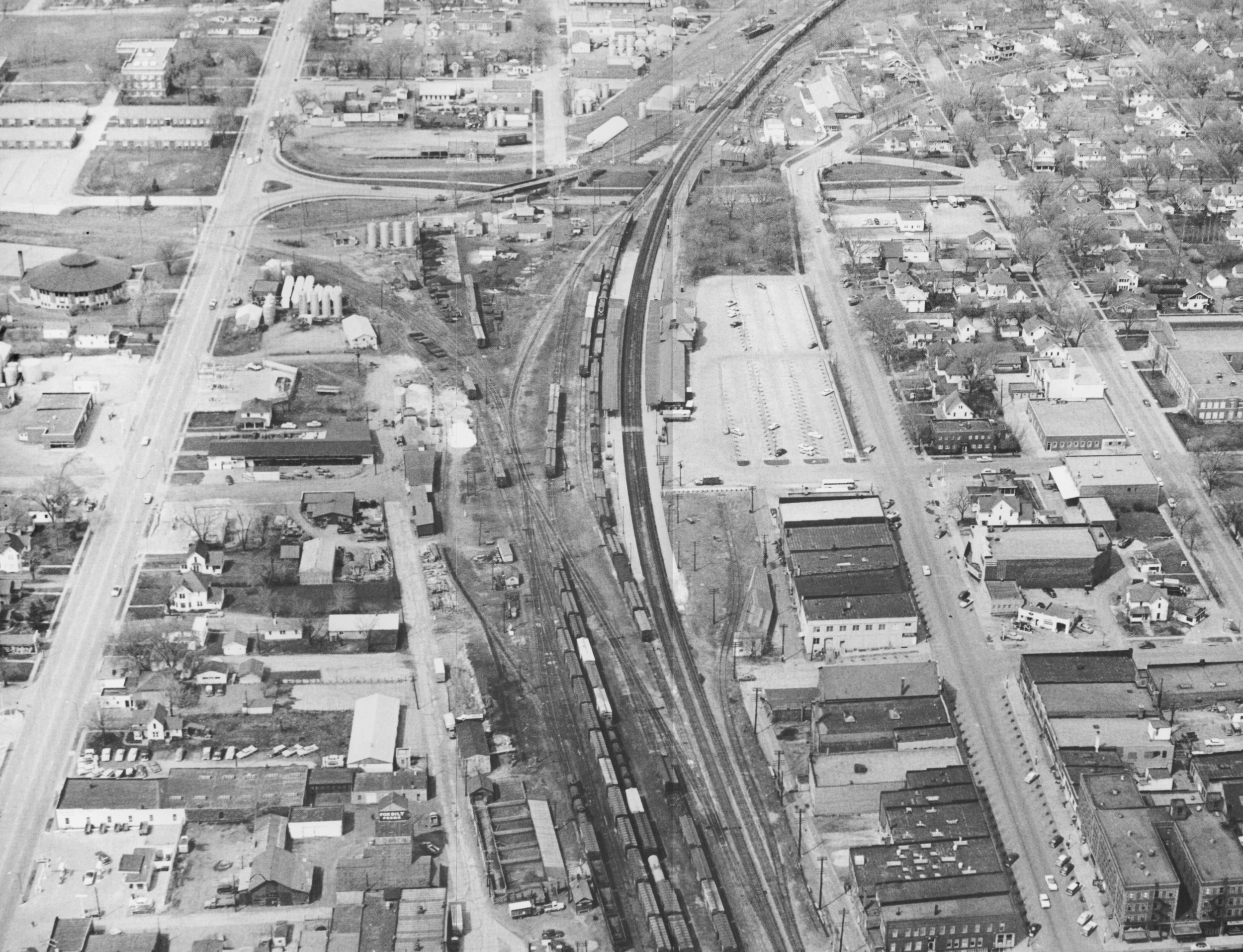
1959 or 1960 view of Lincoln Way and downtown Ames
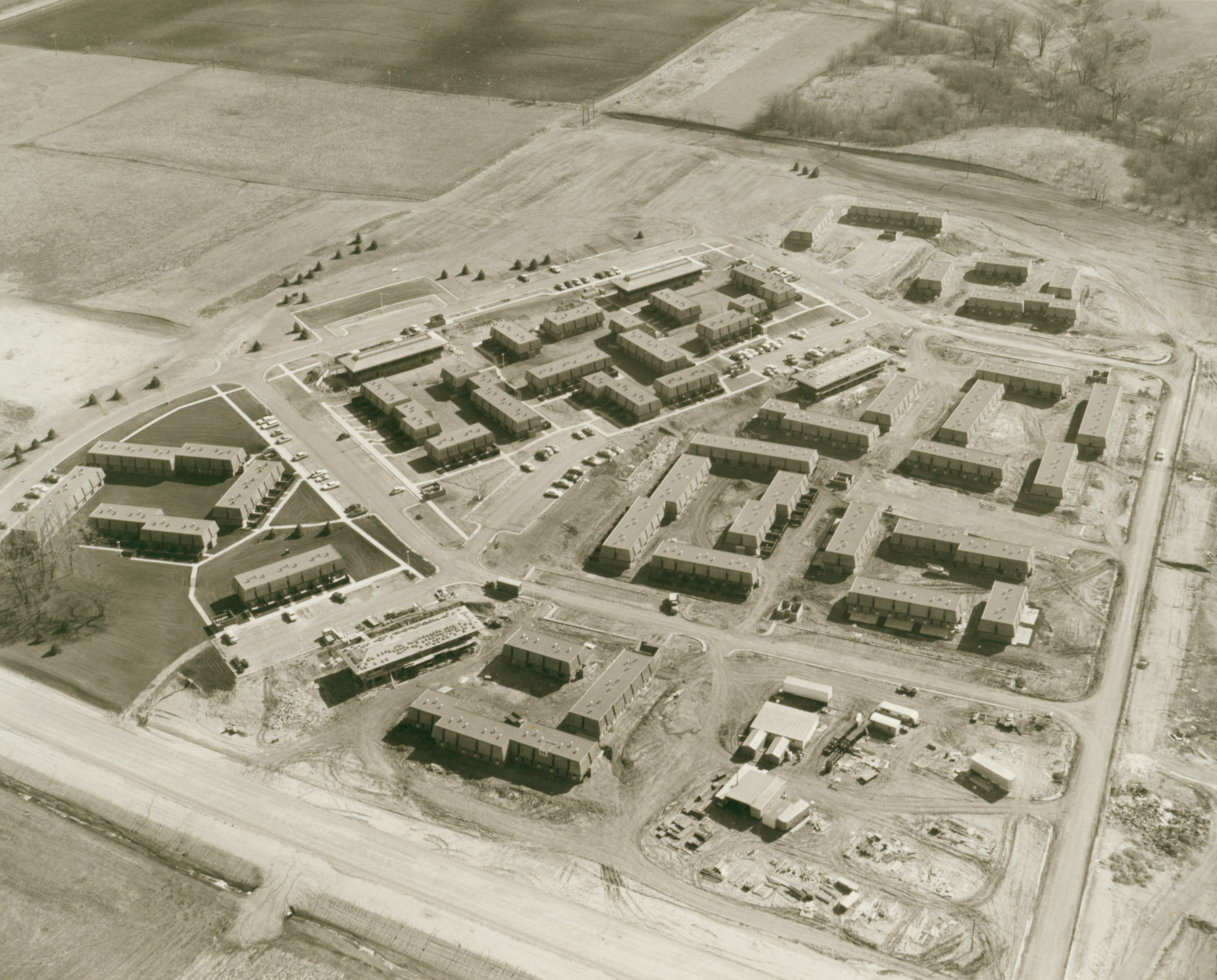
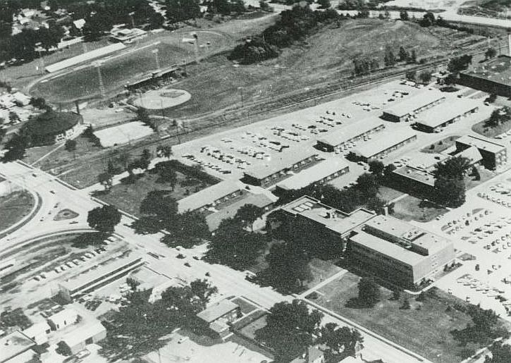
Aerial view of University Village when new, ca. 1960s
1960 DOT and Lincoln Way looking southeast

1962 Aerial view of Beach to Ash Avenue south of Lincoln Way facing north

1972 DOT area looking southwest